SkyMaps s.r.o. uses unmanned aerial systems and other advanced technologies in geodesy, air inspection and many other industrial applications. Our team of innovative minded engineers offers efficient solutions to even the most complex problems. In our work we place special emphasis on customer requirements as well as on quality, safe operation and compliance with applicable legislation.
Aerial mapping by unmanned aircraft is an effective way to survey large areas. From the obtained data it is easy to measure, compare with other data or to create any CAD, GIS or BIM output.
The combination of aerial photogrammetry and mobile mapping offers an effective way to map linear structures as highways. Fast, efficient, simple.
Photorealistic 3D model, facade orthoplans, 2D / 3D CAD drawings.
Documentation of industrial zones using 360 ° panoramas, orthophotomaps or 3D model.
Survey of large areas for the planning of complex land consolidation projects. Complete 3D digitization of the entire cadastre for further processing.
Cultural heritage documentation, 3D model, facade orthoplans, 2D / 3D drawings, and many other outputs according to the customer's wishes.
The obtained data can be used for further analysis. Inspections focus on water leakage, heat leakage, crack detection, vegetation penetration and corrosion detection. Easily check inaccessible locations and manage maintenance to prevent downtime.
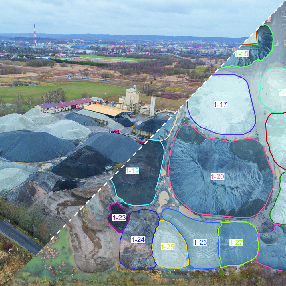
Improve planning schedules with accurate, documented material inventory. With confidence in accurate volume, you can make smarter planning and make better decisions. Save time and work - collect data from the entire site in hours.
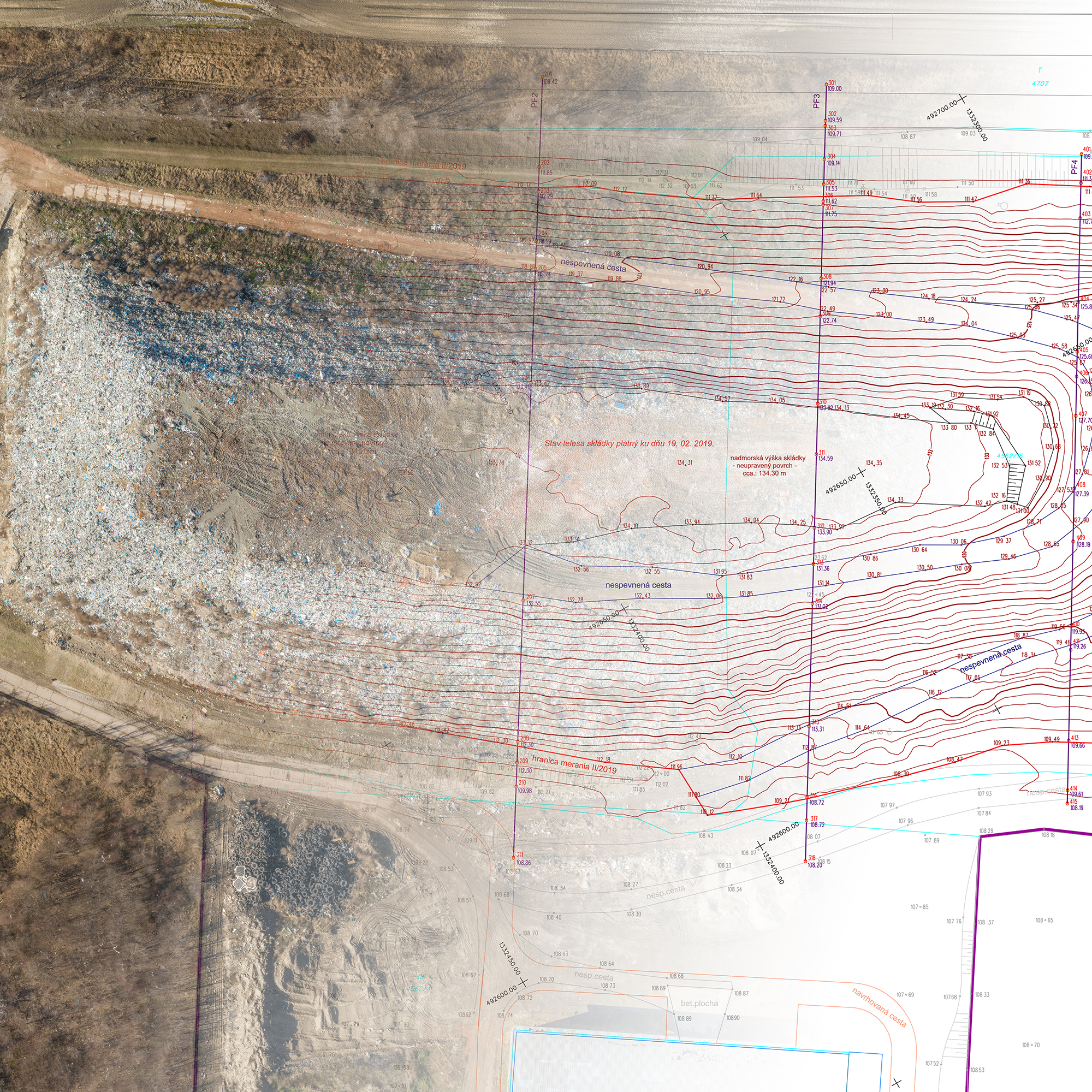
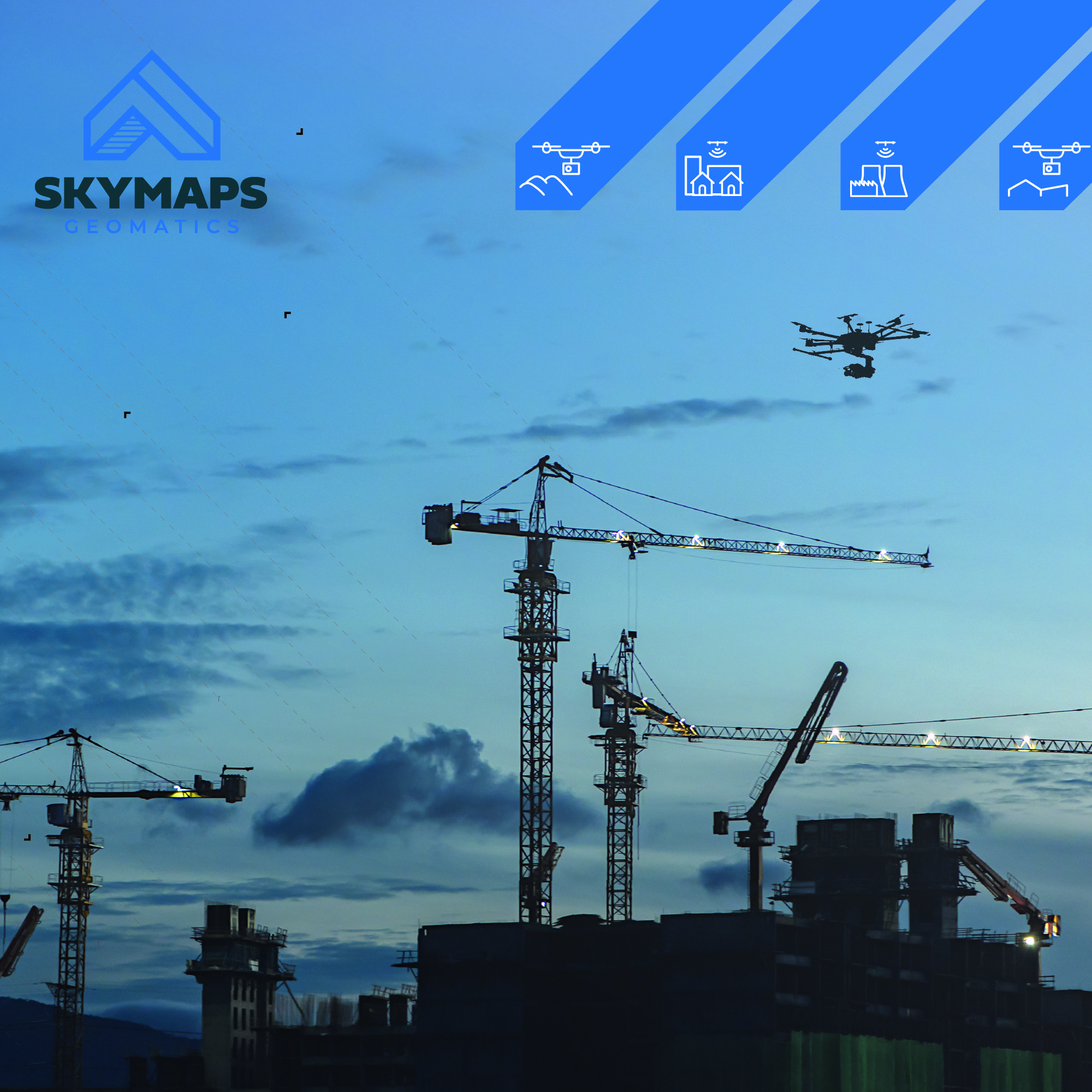
Monitor the progress of construction and earthworks. Outputs can be translated with plans and compare progress.
Improve your mining operations by planning schedules with accurate, documented inventory. With confidence in accurate volume, you can make smarter planning and make better decisions. Save time and work - collect data from the entire site in hours.
Aerial thermography can be used for thermic diagnostics of buildings or industrial installations. By measuring surface temperatures, we are able to detect and visualize temperature anomalies during periodic and predictive inspections of solar panels, wind turbines, power lines, roofs, chimneys, pipelines and many others.
Spatial analysis allows you to solve complex location-oriented problems and better understand where and what is occurring or your site. It goes beyond mere mapping to let you study the characteristics of places and the relationships between them. Everything is accessible online through our web-GIS portal.
Easy cemetery management and clear records of grave sites designated for cities, towns and cemeteries.
Botanická 834/56
Brno, 602 00
Czech Republic
Company registration number: 05547164
VAT number: CZ05547164
![]() ©SkyMaps s.r.o. 2020
©SkyMaps s.r.o. 2020
 EN
EN CZ
CZ